



The first one
Taquería Álvaro Obregón
Abierta desde 1996
- Address
- Av. Álvaro Obregón 90, Roma Norte
- Hours
- Lunes a sábado de 13:00 a 04:45; domingo de 13:00 a 22:15
Mexico City
The city that became fashionable
Roma and Condesa are two neighborhoods invented at the beginning of the last century and now sold as a single idea: a place where you live, eat and work with pleasure. This route does not explain why it became fashionable. It explains what was built here, who lived in it, what happened to the value of the land, and what questions a city leaves behind when it rebuilds itself to be lived in.
The city that was already here
Plaza de la Romita, colonia Roma
≈ 30 min in this moment
The name of the city youngest district comes from a much older place. Before the planned streets and the Porfirian facades, this was a village: Aztacalco, in the house of the herons. When the neighborhood was laid out in 1902, the village did not disappear: it stayed, with its square, its small chapel and its people, and the neighborhood was built around and beside it.
Operational note. The square is small and driving access is easy in the middle, but the median of Chapultepec avenue, half a block away, is the widest and noisiest road around. Better to arrive on Orizaba.
¿Qué había aquí antes de que existiera una colonia?
Roma, 1902
Plaza Río de Janeiro y sus alrededor
≈ 40 min in this moment
On January 24, 1902, Edward Walter Orrin asked the City Council for permission to subdivide the Romita grazing lands. He did not ask for lots alone: he committed to drainage, paving, potable water and sidewalks, and to give up land for gardens, churches, a police station, a market and a school. The streets would carry the names of cities, in memory of the tours of his circus, where the draw was the clown Bell and where the circus had been most applauded.
Operational note. Plaza Rio de Janeiro works as a pass-through: it is a neighborhood square, with benches and dogs. Two or three minutes are enough to see the building and move on. Around lunch, the corner tables fill up.
¿Se puede construir una colonia para la ciudad que se quiere tener?
Álvaro Obregón, the main street
Avenida Álvaro Obregón, Roma Norte
≈ 45 min in this moment
Alvaro Obregon was called Jalisco and it was a dirt road with horse stables. Today it is the boulevard of the neighborhood: the median, the restaurants, the bookshops, the coworkings and the terraces. What changed was not only the commerce: it changed for whom the street is. And to understand it, it helps to look at two different markets, because they do not move the same way.
Operational note. The avenue has three lanes each way and traffic is heavy in the afternoon. The median is the safe place to stop. To eat, it is better to arrive before nine at night on Friday and Saturday.
¿Qué pasa con una calle cuando su valor cambia de manos?
Hipódromo, 1925
Avenida Ámsterdam, colonia Hipódromo
≈ 25 min in this moment
Condesa was not laid out as a grid. It was laid out as a race track. The racecourse opened on those lands in 1910; in 1924 or 1925, the De la Lama and Basurto company bought the land from the Jockey Club and architect José Luis Cuevas adapted the subdivision to the elliptical shape of the track instead of imposing the square blocks of the time. That is where a street that never quite straightens comes from.
Operational note. Avenida Amsterdam is one-way in several stretches and it is the most walked street in the neighborhood. It is best crossed at the roundabouts: they are the only wide parts.
¿Qué pasa cuando una ciudad nueva adopta la forma de otra cosa?
The end of the route
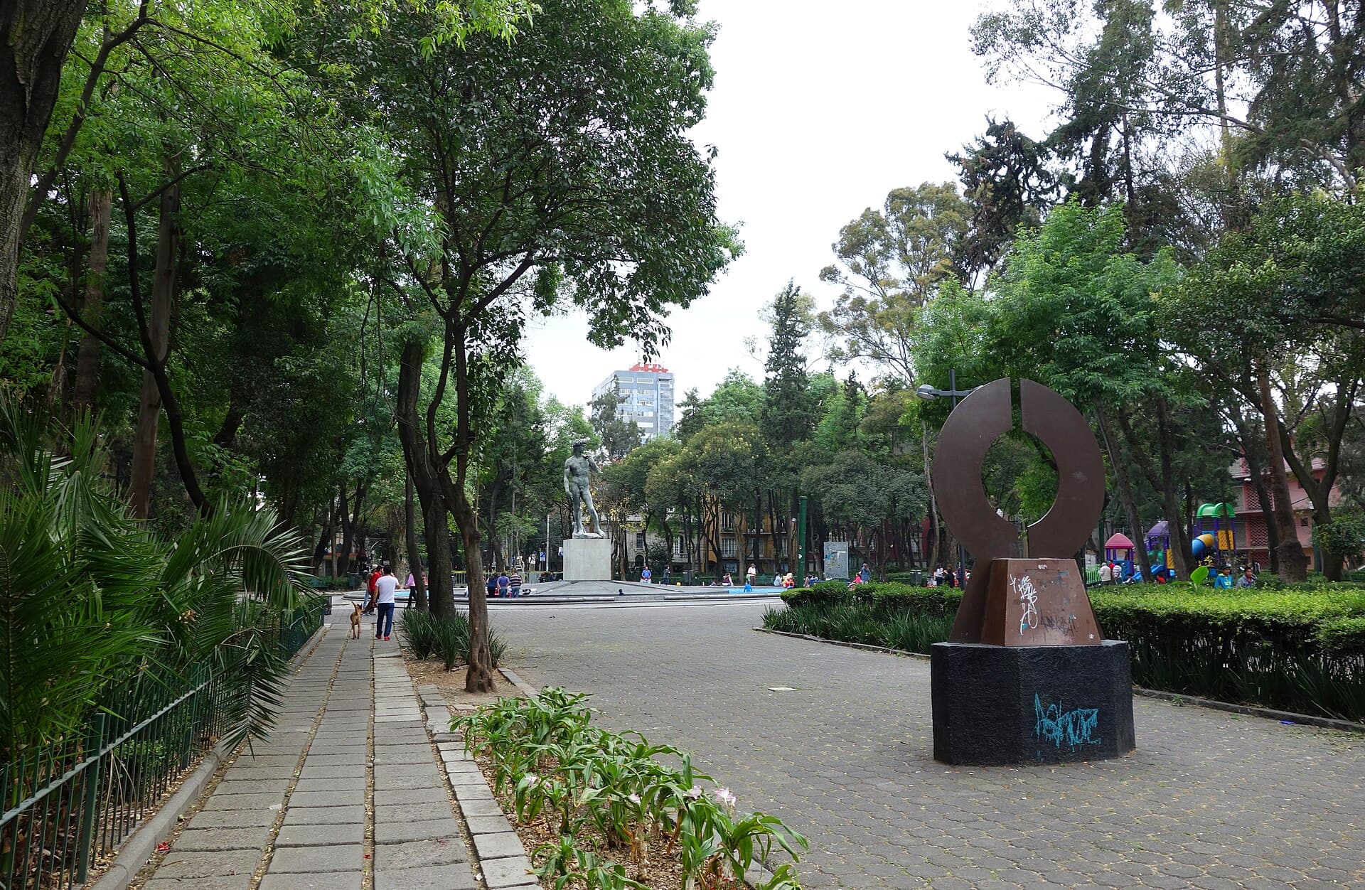
Parque México, colonia Hipódromo
≈ 35 min in this moment
Parque Mexico opened in December 1927 and its official name is Parque General San Martin, a gesture the Foreign Ministry proposed to the city in order to thank Argentina. The name people use comes from something else: the avenue that surrounds it. Its forum, the Lindbergh Forum, was built the same year and got that name in January 1928, after the nonstop flight through which two countries wanted to be greeted. The park has plaques explaining how to behave in it. It was built as education, not as decoration.
Operational note. The closing works better from the forum, looking toward the pond, not from the Michoacan entrance. If the group is large, it is worth walking around the park before sitting down.
¿Quién puede estar en un parque que la ciudad construyó con reglas?
On the same block of Álvaro Obregón, ten meters from each other. Three prices, three publics and three ways of reading the same street. The queue depends on the day and the hour: the wait is not published, it is lived.
The first one
Abierta desde 1996
The one that invented the style
La que puso el nombre: en 2015 inventó la "orinificación", el estilo de taquería de mercado con azulejos, mobiliario de metal y cumbia
The one that came from elsewhere
Franquicia regiomontana: abrió su primera sucursal en Monterrey en 2022 y llegó a la Roma Norte en 2024
Hours and menus verified on the official sites. Prices change: the current menu of the first taquería lists 24 to 33 pesos for a suadero, longaniza or pastor taco, and 155 pesos for the mixed trompo order at the Atarantados. If you are going to eat, it is better to arrive before nine at night.
Separate lo que la historia documenta de lo que el lugar cuenta. Abre cada tarjeta para leerla; ninguna esconde información que necesites para seguir el recorrido.
Dates, architecture and prices come from official city information, UNAM theses, INAH documentation and analyses using INEGI and Sociedad Hipotecaria Federal data. Rents are asking prices, not closed deals: they are published with their source and date.
The 24 images in this Journey come from Wikimedia Commons, with a verified free licence and individual credit under each one. No photograph from another neighborhood is presented as if it were Roma-Condesa.
Data verified on 2026-10-21. The points marked as pending have not been verified: they are published as pending, not filled in.
Open donations to keep building. Copy the method you prefer or scan the code. Thank you for powering Calpulli CDMX.
Your contribution goes directly to the team to fund experience improvements.